Texas Drone Company
Drone Data You Can Build on.
About
Texas Drone Company provides drone data services for construction, aggregate, mining, engineering, and survey clients, including LiDAR, mapping, construction documentation, aerial photography, and repeatable stockpile reporting throughout Texas.
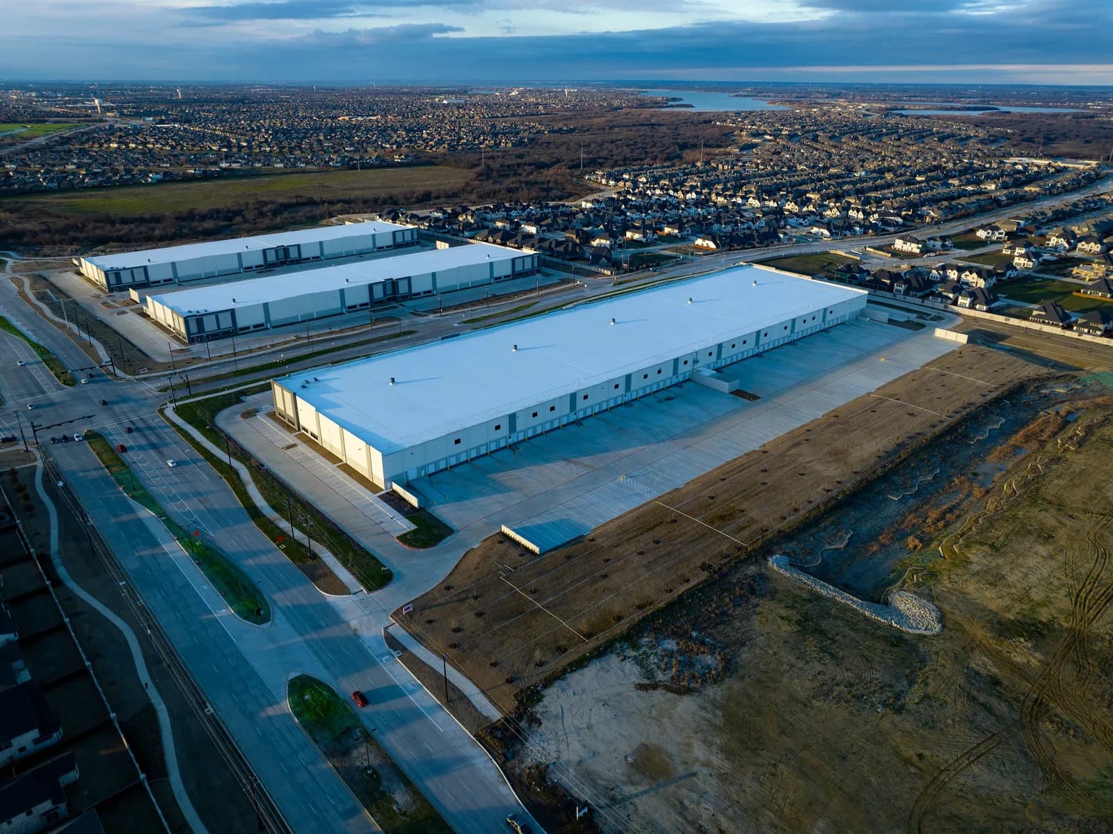
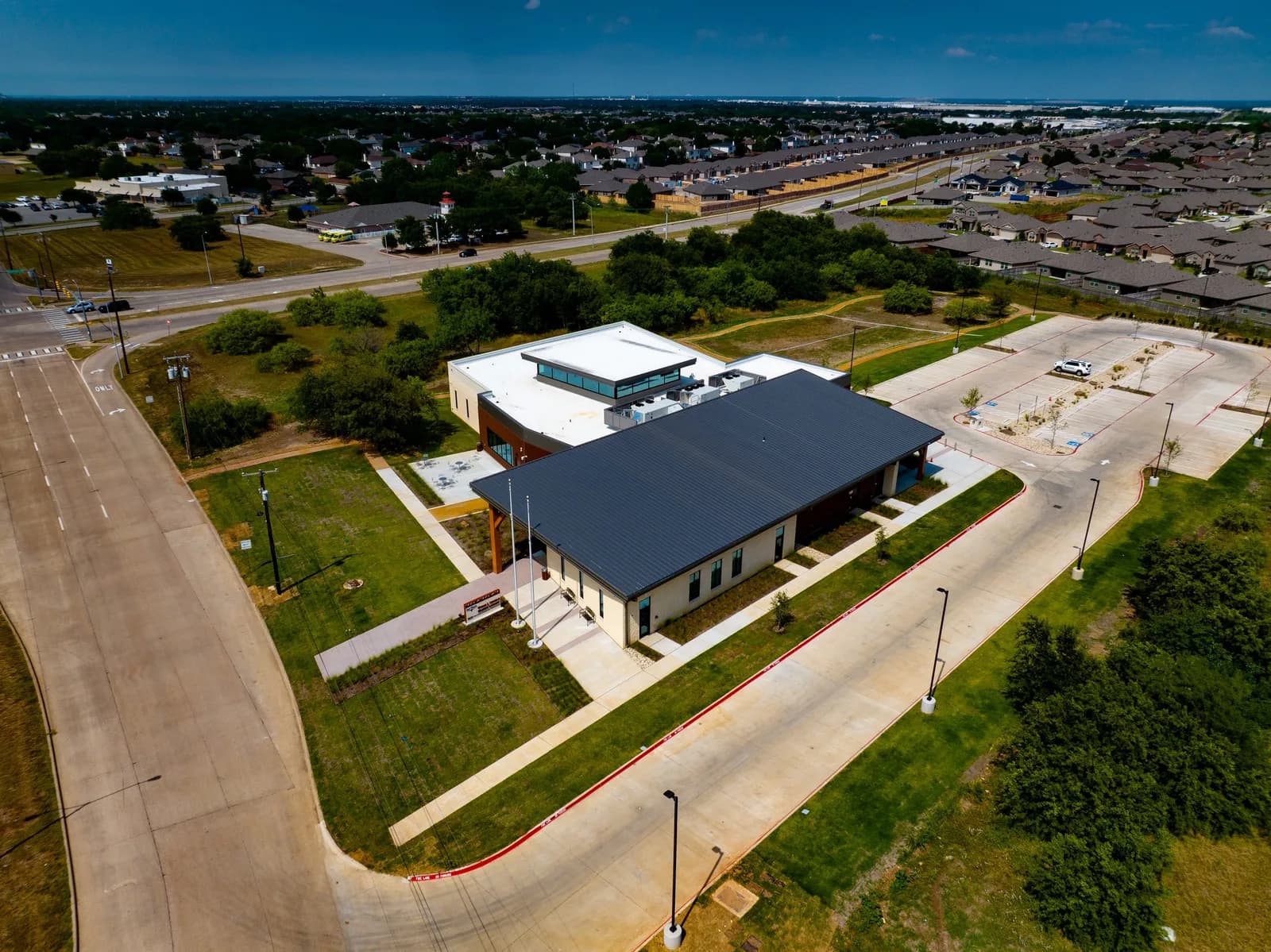
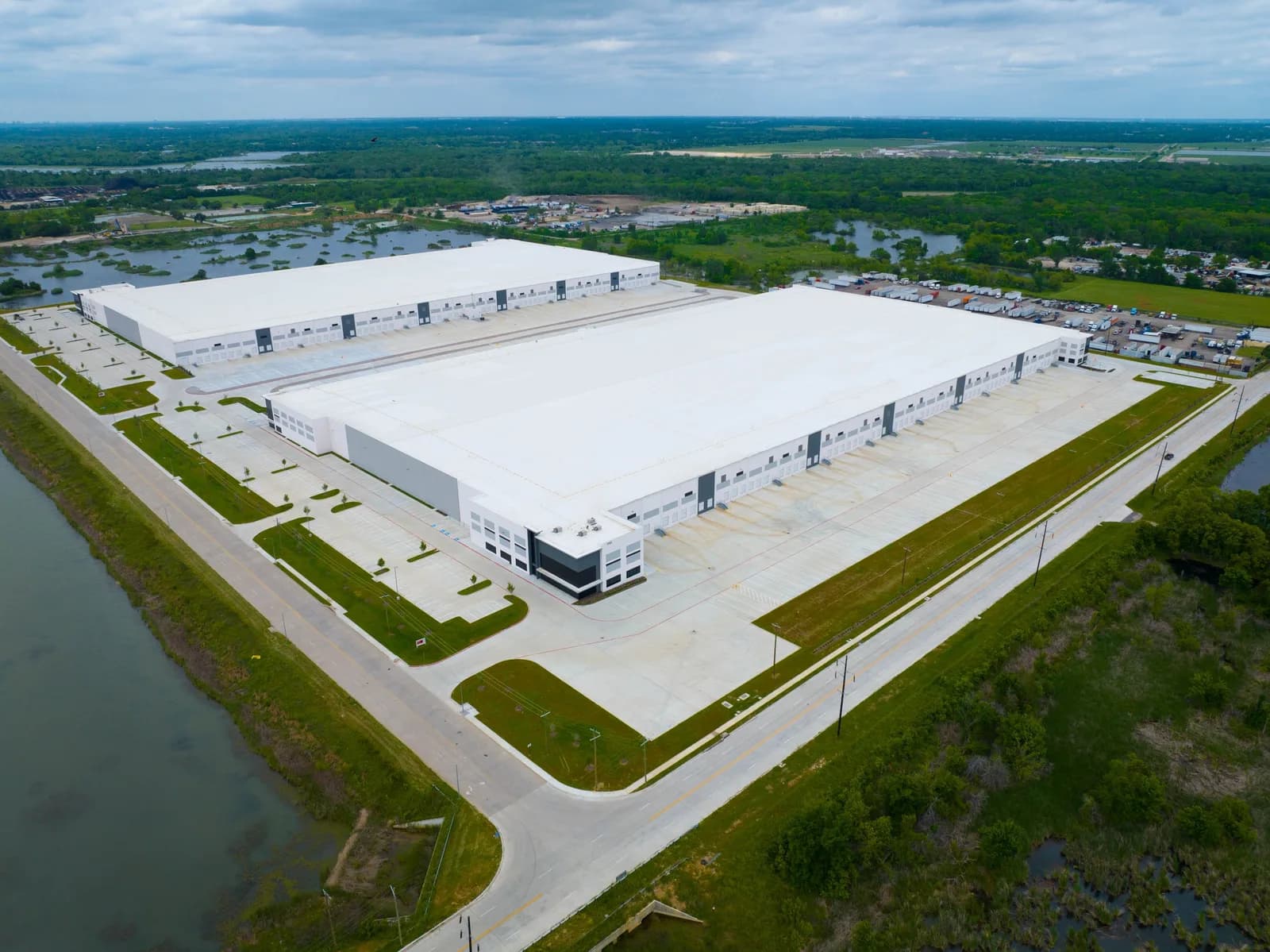
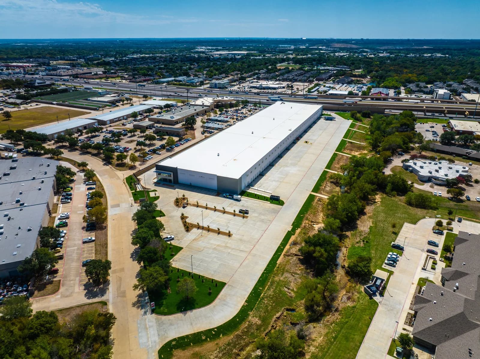
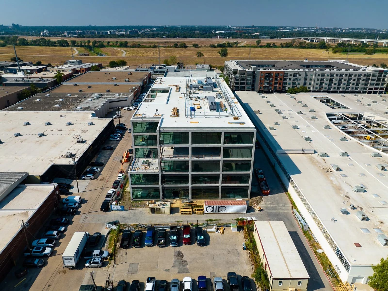
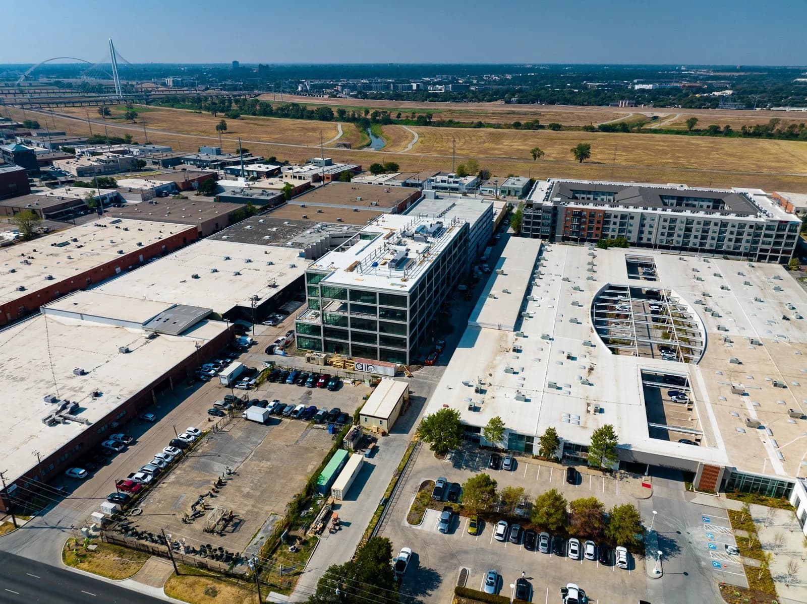
Texas Drone Company is an Argyle, Texas-based aerial-data provider serving construction, aggregate, mining, engineering, and survey work. Its team plans flights, captures data, processes it, and supplies deliverables for client decision-making. The company offers drone LiDAR and photogrammetry for terrain and topographic outputs, construction mapping and progress documentation, aerial and ground 360 panoramas, and stockpile measurement reporting. Its aggregate workflow includes recurring stockpile tracking, volume reporting, cut-and-fill analysis, historical comparisons, and online access to project records. The company also presents named construction-project photography in its on-site portfolio and describes itself as owner-run. Its site says it provides coverage across Texas and beyond.
Portfolio